Path to Dunipace
Introduction
The photograph on this page of Path to Dunipace by Richard Webb as part of the Geograph project.
The Geograph project started in 2005 with the aim of publishing, organising and preserving representative images for every square kilometre of Great Britain, Ireland and the Isle of Man.

There are currently over 7.5m images from over 14,400 individuals and you can help contribute to the project by visiting https://www.geograph.org.uk
Path to Dunipace
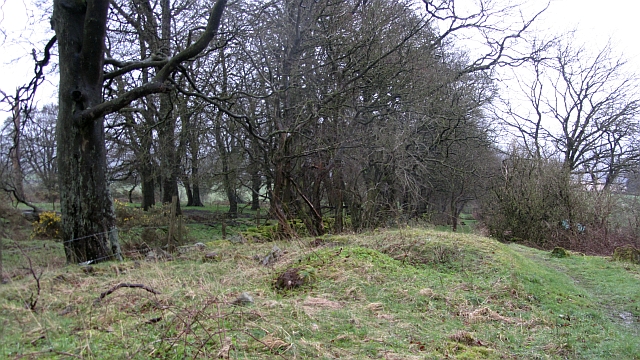
Image: © Richard Webb Taken: 20 Mar 2012
What appears to be a grassed over road is signposted by the Scottish Rights of Way Society.
Images are licensed for reuse under creativecommons.org/licenses/by-sa/2.0
Image Location
Latitude
56.035727
Longitude
-3.913862