Mill Pond Dam, Barford
Introduction
The photograph on this page of Mill Pond Dam, Barford by Colin Smith as part of the Geograph project.
The Geograph project started in 2005 with the aim of publishing, organising and preserving representative images for every square kilometre of Great Britain, Ireland and the Isle of Man.

There are currently over 7.5m images from over 14,400 individuals and you can help contribute to the project by visiting https://www.geograph.org.uk
Mill Pond Dam, Barford
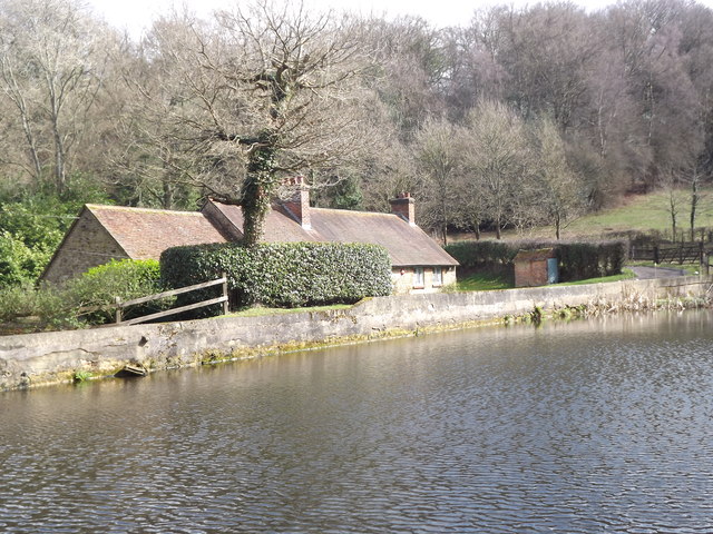
Image: © Colin Smith Taken: 18 Mar 2012
Long dam with mill cottages, at a lower level, behind it. Whitmore Vale once had a series of corn and flour mills.
Images are licensed for reuse under creativecommons.org/licenses/by-sa/2.0
Image Location
Latitude
51.130693
Longitude
-0.781198