Track in Pinewoods
Introduction
The photograph on this page of Track in Pinewoods by Marathon as part of the Geograph project.
The Geograph project started in 2005 with the aim of publishing, organising and preserving representative images for every square kilometre of Great Britain, Ireland and the Isle of Man.

There are currently over 7.5m images from over 14,400 individuals and you can help contribute to the project by visiting https://www.geograph.org.uk
Track in Pinewoods
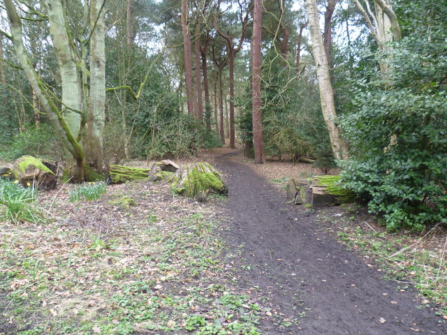
Image: © Marathon Taken: 13 Mar 2012
This area was originally a rough moor known as Harlow Carr. In 1989 the Corporation bought this land adjacent to the Valley Gardens and began converting it into a pine wood. The rest was acquired in 1934 and what had been a large market garden was turned into a formal pine tree plantation.
Images are licensed for reuse under creativecommons.org/licenses/by-sa/2.0
Image Location
Latitude
53.985749
Longitude
-1.561068