Bridge for B4016 over Mill Brook
Introduction
The photograph on this page of Bridge for B4016 over Mill Brook by Roger Templeman as part of the Geograph project.
The Geograph project started in 2005 with the aim of publishing, organising and preserving representative images for every square kilometre of Great Britain, Ireland and the Isle of Man.

There are currently over 7.5m images from over 14,400 individuals and you can help contribute to the project by visiting https://www.geograph.org.uk
Bridge for B4016 over Mill Brook
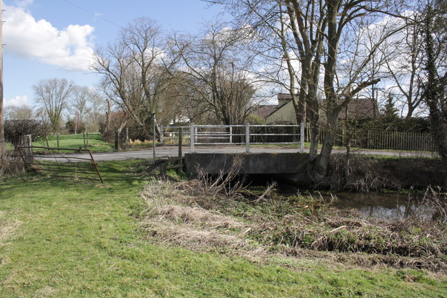
Image: © Roger Templeman Taken: 19 Mar 2012
In 1973 the Ordnance Survey verified a rivet benchmark at 55.66m above Newlyn Datum on the left end of the near parapet. It appears the deck has been replaced since then, and no rivet was found. The view is from a public footpath as it approaches a broken stile at the road side.
Images are licensed for reuse under creativecommons.org/licenses/by-sa/2.0
Image Location
Latitude
51.583541
Longitude
-1.226794