Witton High School
Introduction
The photograph on this page of Witton High School by Bill Boaden as part of the Geograph project.
The Geograph project started in 2005 with the aim of publishing, organising and preserving representative images for every square kilometre of Great Britain, Ireland and the Isle of Man.

There are currently over 7.5m images from over 14,400 individuals and you can help contribute to the project by visiting https://www.geograph.org.uk
Witton High School
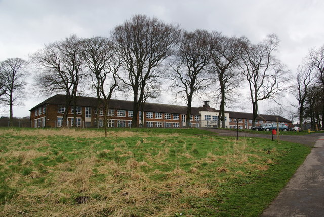
Image: © Bill Boaden Taken: 17 Mar 2012
Seen from the path from Witton Park. Now a Business & Enterprise College. There must have been a job lot of plans from the architects when this was built.
Images are licensed for reuse under creativecommons.org/licenses/by-sa/2.0
Image Location
Latitude
53.74369
Longitude
-2.510173