Victoria Park Community Centre
Introduction
The photograph on this page of Victoria Park Community Centre by Gerald England as part of the Geograph project.
The Geograph project started in 2005 with the aim of publishing, organising and preserving representative images for every square kilometre of Great Britain, Ireland and the Isle of Man.

There are currently over 7.5m images from over 14,400 individuals and you can help contribute to the project by visiting https://www.geograph.org.uk
Victoria Park Community Centre
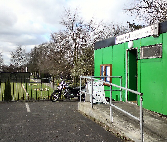
Image: © Gerald England Taken: 19 Mar 2012
Next to the bowling green in Victoria Park is the Community Centre which hosts a number of activities and serves tea and toast when open.
Images are licensed for reuse under creativecommons.org/licenses/by-sa/2.0
Image Location
Latitude
53.45476
Longitude
-2.114561