2012 : Knight's Marsh Farm, on the road to Calne
Introduction
The photograph on this page of 2012 : Knight's Marsh Farm, on the road to Calne by Maurice Pullin as part of the Geograph project.
The Geograph project started in 2005 with the aim of publishing, organising and preserving representative images for every square kilometre of Great Britain, Ireland and the Isle of Man.

There are currently over 7.5m images from over 14,400 individuals and you can help contribute to the project by visiting https://www.geograph.org.uk
2012 : Knight's Marsh Farm, on the road to Calne
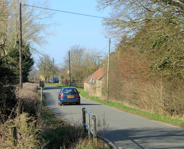
Image: © Maurice Pullin Taken: 11 Mar 2012
The brown sign indicates a caravan site in 100m. The farm buildings are mostly hidden by the trees to the right.
Images are licensed for reuse under creativecommons.org/licenses/by-sa/2.0
Image Location
Latitude
51.419743
Longitude
-1.994918