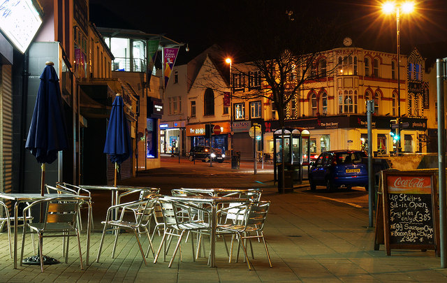
Bridge Street, Bangor
Introduction
The photograph on this page of Bridge Street, Bangor by Rossographer as part of the Geograph project.
The Geograph project started in 2005 with the aim of publishing, organising and preserving representative images for every square kilometre of Great Britain, Ireland and the Isle of Man.
There are currently over 7.5m images from over 14,400 individuals and you can help contribute to the project by visiting https://www.geograph.org.uk

Image: © Rossographer Taken: 12 Mar 2012
Night view of Bridge Street in Bangor. The tables and chairs, empty on this chilly evening, belong to a fish & chip shop. The street name is derived from a bridge which once crossed a river here - in the early 1600s the river served a mill at this location (that river would be the one that flows through Ward Park Image and, now culverted under the town, enters the sea at Bangor Marina Image).

