Brightlands Road
Introduction
The photograph on this page of Brightlands Road by Ian Capper as part of the Geograph project.
The Geograph project started in 2005 with the aim of publishing, organising and preserving representative images for every square kilometre of Great Britain, Ireland and the Isle of Man.

There are currently over 7.5m images from over 14,400 individuals and you can help contribute to the project by visiting https://www.geograph.org.uk
Brightlands Road
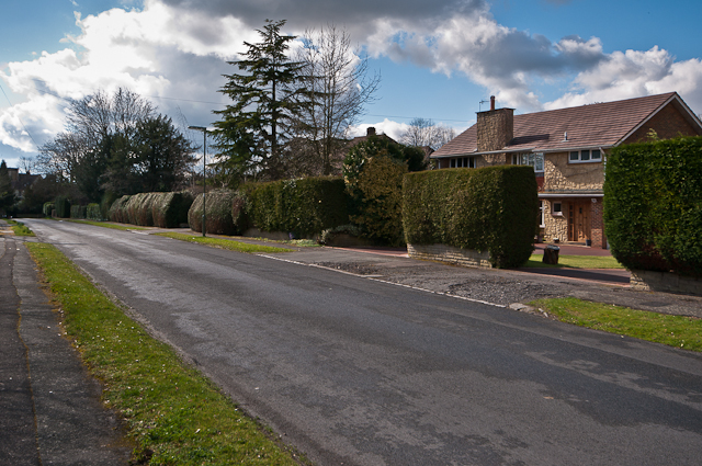
Image: © Ian Capper Taken: 18 Mar 2012
The 1871 large scale map of Reigate shows Brightlands Road as a cut between Wray Park Road and Raglan Road, with only one large house in the road, surrounded by extensive grounds. This was Brightlands, situated where the modern house on the right of the photo now stands. It was only in the 1950s that the road started being developed further, with a few houses being built in the grounds of Brightlands, and it was not until the 1970s that Brightlands itself was demolished, to be replaced by the house seen here. The historic importance of Brightlands was that it was the home of the Victorian photographer, Francis Frith, whose photographic printing works was in Reigate - see Image For photos of the original house see http://www.francisfrith.com/reigate/photos/brightlands-c1885_r20312 and http://www.francisfrith.com/reigate/photos/francis-frith-at-brightlands-c1885_r20311 (the latter showing Francis Frith himself relaxing in the garden of the house).
Images are licensed for reuse under creativecommons.org/licenses/by-sa/2.0
Image Location
Latitude
51.24524
Longitude
-0.193954