The cemetery, Precinct and St Peter's Close, Burnham
Introduction
The photograph on this page of The cemetery, Precinct and St Peter's Close, Burnham by Mary McCarthy as part of the Geograph project.
The Geograph project started in 2005 with the aim of publishing, organising and preserving representative images for every square kilometre of Great Britain, Ireland and the Isle of Man.

There are currently over 7.5m images from over 14,400 individuals and you can help contribute to the project by visiting https://www.geograph.org.uk
The cemetery, Precinct and St Peter's Close, Burnham
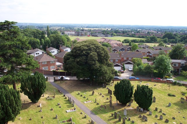
Image: © Mary McCarthy Taken: 29 Jun 2002
View from St Peter's Church tower, looking over the Precinct and St Peter's Close towards Burnham Upper School on Opendale Road, with Orchardville behind the line of trees to the West. The Recreation Ground is just visible beyond St Peter's Close, adjoining the school field.
Images are licensed for reuse under creativecommons.org/licenses/by-sa/2.0
Image Location
Latitude
51.532311
Longitude
-0.660068