Footpath towards Dorton
Introduction
The photograph on this page of Footpath towards Dorton by Graham Horn as part of the Geograph project.
The Geograph project started in 2005 with the aim of publishing, organising and preserving representative images for every square kilometre of Great Britain, Ireland and the Isle of Man.

There are currently over 7.5m images from over 14,400 individuals and you can help contribute to the project by visiting https://www.geograph.org.uk
Footpath towards Dorton
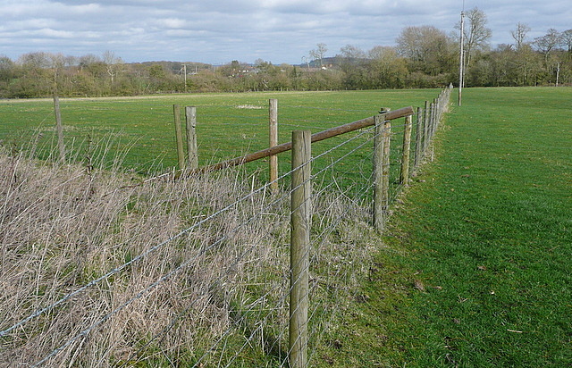
Image: © Graham Horn Taken: 10 Mar 2012
The footpath follows this field boundary, and stays on this side to the woodland ahead.
Images are licensed for reuse under creativecommons.org/licenses/by-sa/2.0
Image Location
Latitude
51.820533
Longitude
-1.019191