Dengie Crops
Introduction
The photograph on this page of Dengie Crops by Roger Jones as part of the Geograph project.
The Geograph project started in 2005 with the aim of publishing, organising and preserving representative images for every square kilometre of Great Britain, Ireland and the Isle of Man.

There are currently over 7.5m images from over 14,400 individuals and you can help contribute to the project by visiting https://www.geograph.org.uk
Dengie Crops
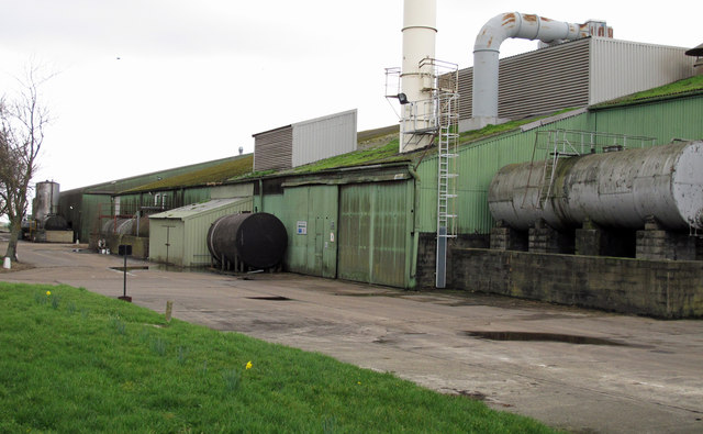
Image: © Roger Jones Taken: 18 Mar 2012
Dengie Crops stores and processes foodstuffs. See http://www.dengie-crops.com/pages/grain-storage.php The site is also the location of the Dengie public weighbridge.
Images are licensed for reuse under creativecommons.org/licenses/by-sa/2.0
Image Location
Latitude
51.675329
Longitude
0.856624