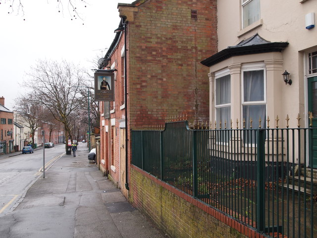
Nottingham - City Centre
Introduction
The photograph on this page of Nottingham - City Centre by David Hallam-Jones as part of the Geograph project.
The Geograph project started in 2005 with the aim of publishing, organising and preserving representative images for every square kilometre of Great Britain, Ireland and the Isle of Man.
There are currently over 7.5m images from over 14,400 individuals and you can help contribute to the project by visiting https://www.geograph.org.uk

Image: © David Hallam-Jones Taken: 18 Mar 2012
A view of North Sherwood St looking in the direction of the city centre. The front elevation of The Charles Napier pub can be seen on the right although it closed in 2011. Sir Charles James Napier (1782-1853) was the British Army's Commander-in-Chief in India, noted for conquering the Sindh Province in what is now Pakistan. Just beyond the pub, although not visible, is one of the entrances to the Arboretum.This street runs parallel with Mansfield Rd (A611).

