Redland Park United Reformed Church
Introduction
The photograph on this page of Redland Park United Reformed Church by Linda Bailey as part of the Geograph project.
The Geograph project started in 2005 with the aim of publishing, organising and preserving representative images for every square kilometre of Great Britain, Ireland and the Isle of Man.

There are currently over 7.5m images from over 14,400 individuals and you can help contribute to the project by visiting https://www.geograph.org.uk
Redland Park United Reformed Church
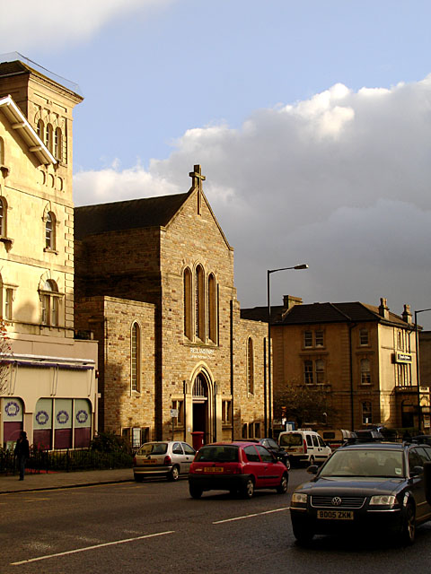
Image: © Linda Bailey Taken: 20 Nov 2006
The history of the church can be found at http://www.redlandparkchurch.co.uk/history-main.htm including an old photograph of the church. It was originally known as Redland Park Congregational Church, the foundation stone of the original church was laid in June 1860. The church was destroyed in 1940 and rebuilt after the war.
Images are licensed for reuse under creativecommons.org/licenses/by-sa/2.0
Image Location
Latitude
51.467865
Longitude
-2.612649