Fields behind Wivelsfield
Introduction
The photograph on this page of Fields behind Wivelsfield by Nigel Freeman as part of the Geograph project.
The Geograph project started in 2005 with the aim of publishing, organising and preserving representative images for every square kilometre of Great Britain, Ireland and the Isle of Man.

There are currently over 7.5m images from over 14,400 individuals and you can help contribute to the project by visiting https://www.geograph.org.uk
Fields behind Wivelsfield
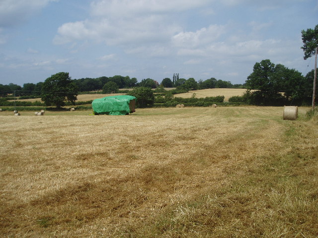
Image: © Nigel Freeman Taken: 18 Jul 2005
Shown on the Ordnance Survey as Mann's Field this view looks towards Wivelsfield Hall on the far hill.
Images are licensed for reuse under creativecommons.org/licenses/by-sa/2.0
Image Location


Leaflet Map data © OpenStreetMap
Latitude
50.965318
Longitude
-0.073181