Dry stream at Northbrook
Introduction
The photograph on this page of Dry stream at Northbrook by Peter Facey as part of the Geograph project.
The Geograph project started in 2005 with the aim of publishing, organising and preserving representative images for every square kilometre of Great Britain, Ireland and the Isle of Man.

There are currently over 7.5m images from over 14,400 individuals and you can help contribute to the project by visiting https://www.geograph.org.uk
Dry stream at Northbrook
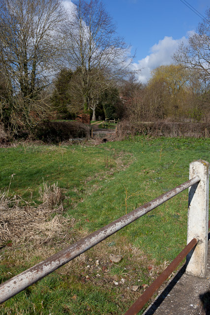
Image: © Peter Facey Taken: 18 Mar 2012
Seen from the road named Beeches Hill. This stream flows into the northern pond at Bishop's Waltham. Both the stream and the pond were dry at time of photographing.
Images are licensed for reuse under creativecommons.org/licenses/by-sa/2.0
Image Location
Latitude
50.959737
Longitude
-1.208998