Pillbox near Woolverton
Introduction
The photograph on this page of Pillbox near Woolverton by Phil Williams as part of the Geograph project.
The Geograph project started in 2005 with the aim of publishing, organising and preserving representative images for every square kilometre of Great Britain, Ireland and the Isle of Man.

There are currently over 7.5m images from over 14,400 individuals and you can help contribute to the project by visiting https://www.geograph.org.uk
Pillbox near Woolverton
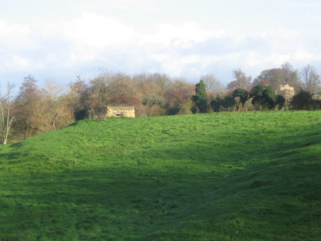
Image: © Phil Williams Taken: 26 Nov 2006
A view looking east over farmland towards a pillbox overlooking the River Frome near Woolverton. The rooftops of Merfield House can be seen in the background at centre right.
Images are licensed for reuse under creativecommons.org/licenses/by-sa/2.0
Image Location
Latitude
51.279363
Longitude
-2.298161