River Wye in High Wycombe
Introduction
The photograph on this page of River Wye in High Wycombe by Rob Emms as part of the Geograph project.
The Geograph project started in 2005 with the aim of publishing, organising and preserving representative images for every square kilometre of Great Britain, Ireland and the Isle of Man.

There are currently over 7.5m images from over 14,400 individuals and you can help contribute to the project by visiting https://www.geograph.org.uk
River Wye in High Wycombe
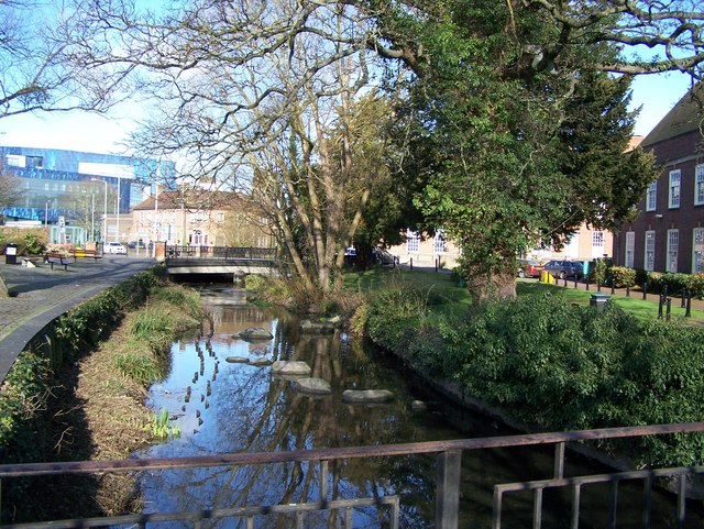
Image: © Rob Emms Taken: 18 Mar 2012
The River Wye running through the town centre. The Liberal Club can be seen beyond bridge. Blue building in the distance is Buckinghamshire New University.
Images are licensed for reuse under creativecommons.org/licenses/by-sa/2.0
Image Location


Leaflet Map data © OpenStreetMap
Latitude
51.627174
Longitude
-0.749594