Queen Victoria Road
Introduction
The photograph on this page of Queen Victoria Road by Rob Emms as part of the Geograph project.
The Geograph project started in 2005 with the aim of publishing, organising and preserving representative images for every square kilometre of Great Britain, Ireland and the Isle of Man.

There are currently over 7.5m images from over 14,400 individuals and you can help contribute to the project by visiting https://www.geograph.org.uk
Queen Victoria Road
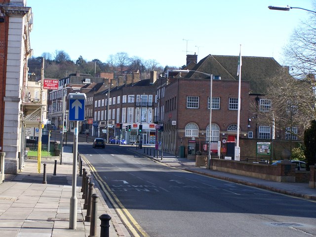
Image: © Rob Emms Taken: 18 Mar 2012
Queen Victoria Road through to Crendon Street, with High Wycombe's Royal Mail sorting office building.
Images are licensed for reuse under creativecommons.org/licenses/by-sa/2.0
Image Location
Latitude
51.628149
Longitude
-0.748267