Bend...
Introduction
The photograph on this page of Bend... by Bill Harrison as part of the Geograph project.
The Geograph project started in 2005 with the aim of publishing, organising and preserving representative images for every square kilometre of Great Britain, Ireland and the Isle of Man.

There are currently over 7.5m images from over 14,400 individuals and you can help contribute to the project by visiting https://www.geograph.org.uk
Bend...
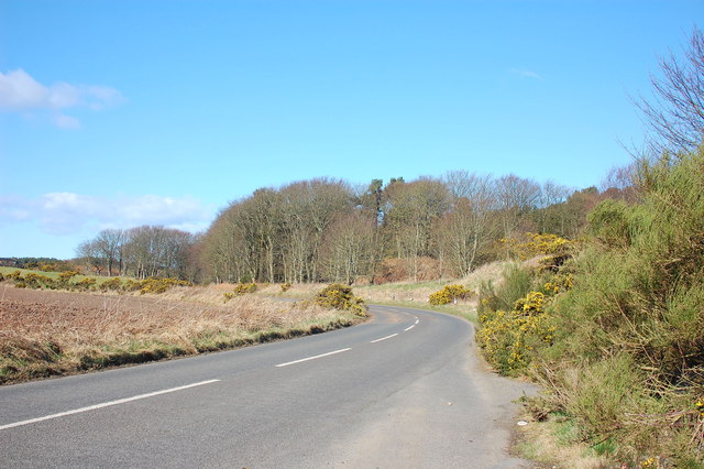
Image: © Bill Harrison Taken: 17 Mar 2012
...on the minor road connecting the A90 to the village of Potterton. Typical Aberdeenshire gorse bushes at the roadside...
Images are licensed for reuse under creativecommons.org/licenses/by-sa/2.0
Image Location
Latitude
57.23092
Longitude
-2.083133