Defensive Earthwork in Bolsover
Introduction
The photograph on this page of Defensive Earthwork in Bolsover by Jonathan Clitheroe as part of the Geograph project.
The Geograph project started in 2005 with the aim of publishing, organising and preserving representative images for every square kilometre of Great Britain, Ireland and the Isle of Man.

There are currently over 7.5m images from over 14,400 individuals and you can help contribute to the project by visiting https://www.geograph.org.uk
Defensive Earthwork in Bolsover
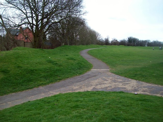
Image: © Jonathan Clitheroe Taken: 17 Mar 2012
13th Century bank and ditch situated in Hornscroft Park. The bank would probably have been further fortified with wooden fencing in order to defend the eastern side of the medieval town.
Images are licensed for reuse under creativecommons.org/licenses/by-sa/2.0
Image Location
Latitude
53.228071
Longitude
-1.289031