Frick Farm
Introduction
The photograph on this page of Frick Farm by Nigel Freeman as part of the Geograph project.
The Geograph project started in 2005 with the aim of publishing, organising and preserving representative images for every square kilometre of Great Britain, Ireland and the Isle of Man.

There are currently over 7.5m images from over 14,400 individuals and you can help contribute to the project by visiting https://www.geograph.org.uk
Frick Farm
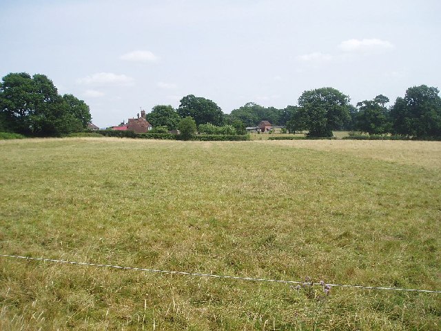
Image: © Nigel Freeman Taken: 18 Jul 2005
Taken from the footpath south of the A272 and looking east towards Frick farm. The footpath leading down to Frick Wood is little used and overgrown when this picture was taken.
Images are licensed for reuse under creativecommons.org/licenses/by-sa/2.0
Image Location


Leaflet Map data © OpenStreetMap
Latitude
50.9718
Longitude
-0.014513