Flint Street, Walworth
Introduction
The photograph on this page of Flint Street, Walworth by Stephen Craven as part of the Geograph project.
The Geograph project started in 2005 with the aim of publishing, organising and preserving representative images for every square kilometre of Great Britain, Ireland and the Isle of Man.

There are currently over 7.5m images from over 14,400 individuals and you can help contribute to the project by visiting https://www.geograph.org.uk
Flint Street, Walworth
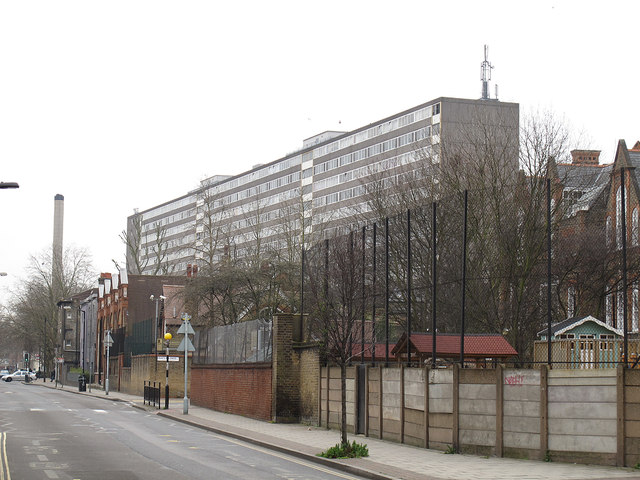
Image: © Stephen Craven Taken: 10 Mar 2012
Looking south from the junction with Rodney Road. The large building is the Taplow housing block at the centre of the Aylesbury estate, which is scheduled for demolition http://en.wikipedia.org/wiki/Aylesbury_Estate . A very different setting from the village after which it was named http://www.geograph.org.uk/search.php?i=29589300
Images are licensed for reuse under creativecommons.org/licenses/by-sa/2.0
Image Location
Latitude
51.488664
Longitude
-0.086921