Farm access bridge over A361 north of Sellake
Introduction
The photograph on this page of Farm access bridge over A361 north of Sellake by David Smith as part of the Geograph project.
The Geograph project started in 2005 with the aim of publishing, organising and preserving representative images for every square kilometre of Great Britain, Ireland and the Isle of Man.

There are currently over 7.5m images from over 14,400 individuals and you can help contribute to the project by visiting https://www.geograph.org.uk
Farm access bridge over A361 north of Sellake
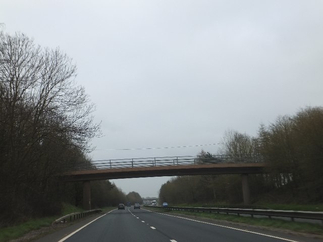
Image: © David Smith Taken: 15 Mar 2012
This bridge carries a farm track from Sellake to fields between the A361 and Uplowman Road
Images are licensed for reuse under creativecommons.org/licenses/by-sa/2.0
Image Location


Leaflet Map data © OpenStreetMap
Latitude
50.919241
Longitude
-3.420311