Orchard Grove
Introduction
The photograph on this page of Orchard Grove by Ian Capper as part of the Geograph project.
The Geograph project started in 2005 with the aim of publishing, organising and preserving representative images for every square kilometre of Great Britain, Ireland and the Isle of Man.

There are currently over 7.5m images from over 14,400 individuals and you can help contribute to the project by visiting https://www.geograph.org.uk
Orchard Grove
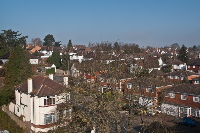
Image: © Ian Capper Taken: 15 Mar 2012
Viewed from the Memorial car park. Looking down on the dogleg of Orchard Grove, with Knoll Rise rising in the background.
Images are licensed for reuse under creativecommons.org/licenses/by-sa/2.0
Image Location


Leaflet Map data © OpenStreetMap
Latitude
51.374905
Longitude
0.096061