Steep muddy track, Wattsville
Introduction
The photograph on this page of Steep muddy track, Wattsville by Jaggery as part of the Geograph project.
The Geograph project started in 2005 with the aim of publishing, organising and preserving representative images for every square kilometre of Great Britain, Ireland and the Isle of Man.

There are currently over 7.5m images from over 14,400 individuals and you can help contribute to the project by visiting https://www.geograph.org.uk
Steep muddy track, Wattsville
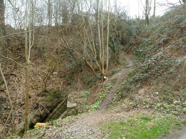
Image: © Jaggery Taken: 16 Mar 2012
Near an underpass http://www.geograph.org.uk/photo/2852104 a narrow muddy track climbs away from the road. The masonry on the left is part of a culvert http://www.geograph.org.uk/photo/2852146 from which a stream, Nant Hafod-tudur, issues.
Images are licensed for reuse under creativecommons.org/licenses/by-sa/2.0
Image Location
Latitude
51.614877
Longitude
-3.151036