Bethel Church, Wattsville
Introduction
The photograph on this page of Bethel Church, Wattsville by Jaggery as part of the Geograph project.
The Geograph project started in 2005 with the aim of publishing, organising and preserving representative images for every square kilometre of Great Britain, Ireland and the Isle of Man.

There are currently over 7.5m images from over 14,400 individuals and you can help contribute to the project by visiting https://www.geograph.org.uk
Bethel Church, Wattsville
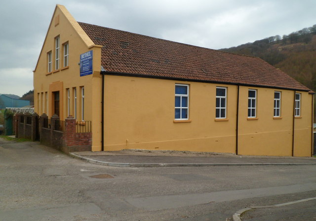
Image: © Jaggery Taken: 16 Mar 2012
Located on Duffryn Terrace. The top three lines of the name board show BETHEL The church in the community (Established 1905). Here's http://www.geograph.org.uk/photo/1891094 how the church looked in May 2010.
Images are licensed for reuse under creativecommons.org/licenses/by-sa/2.0
Image Location
Latitude
51.61492
Longitude
-3.146704