Yeovil : Watercombe Lane A3088
Introduction
The photograph on this page of Yeovil : Watercombe Lane A3088 by Lewis Clarke as part of the Geograph project.
The Geograph project started in 2005 with the aim of publishing, organising and preserving representative images for every square kilometre of Great Britain, Ireland and the Isle of Man.

There are currently over 7.5m images from over 14,400 individuals and you can help contribute to the project by visiting https://www.geograph.org.uk
Yeovil : Watercombe Lane A3088
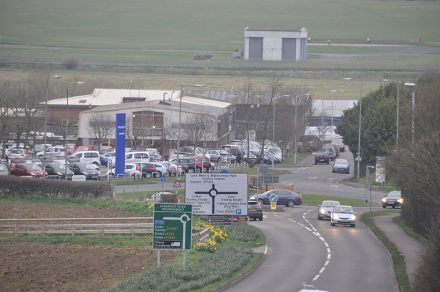
Image: © Lewis Clarke Taken: 16 Mar 2012
Looking down the road towards the Lysander Road Roundabout.
Images are licensed for reuse under creativecommons.org/licenses/by-sa/2.0
Image Location
Latitude
50.932469
Longitude
-2.663929