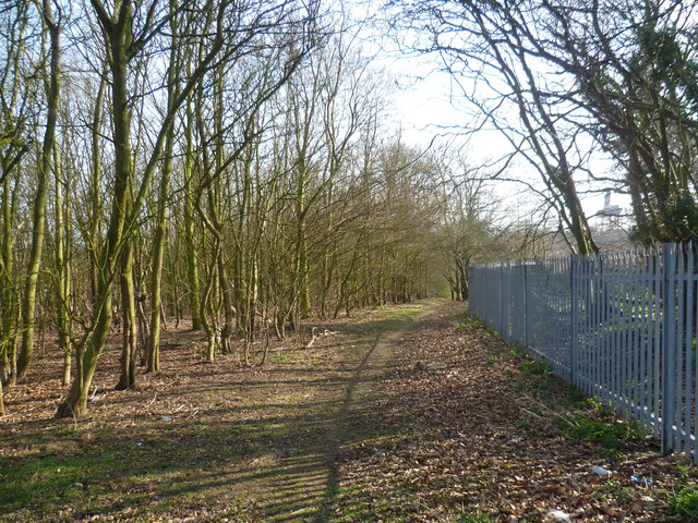
Footpath towards the A2 near Swanscombe
Introduction
The photograph on this page of Footpath towards the A2 near Swanscombe by Marathon as part of the Geograph project.
The Geograph project started in 2005 with the aim of publishing, organising and preserving representative images for every square kilometre of Great Britain, Ireland and the Isle of Man.
There are currently over 7.5m images from over 14,400 individuals and you can help contribute to the project by visiting https://www.geograph.org.uk

Image: © Marathon Taken: 15 Mar 2012
A footpath leads down a long flight of steps from the A2, through a belt of woodland and along the edge of a field before turning through a right angle to meet Southfleet Road. This view is from where the path emerges from the woodland and looks back towards the A2 where the gantry can be seen on the right. Maps of this area from 30 years ago show a woodland in what is called Swanscombe Park on the other side of the metal fence. Now this has mostly been swept away and replaced by the huge Ebbsfleet Eastern Quarry. An ambitious plan has been drawn up for the future commercial and residential development of the quarry to be called Ebbsfleet Valley. It has yet to be fully started and will take between 20-25 years to develop as a whole.

