Marjery Cross
Introduction
The photograph on this page of Marjery Cross by Derek Harper as part of the Geograph project.
The Geograph project started in 2005 with the aim of publishing, organising and preserving representative images for every square kilometre of Great Britain, Ireland and the Isle of Man.

There are currently over 7.5m images from over 14,400 individuals and you can help contribute to the project by visiting https://www.geograph.org.uk
Marjery Cross
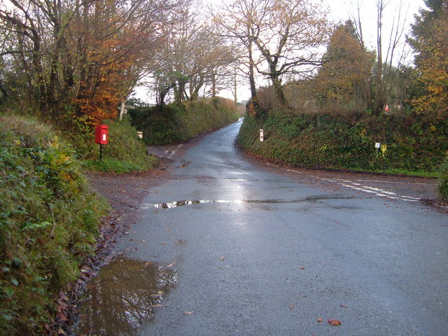
Image: © Derek Harper Taken: 26 Nov 2006
A junction of lanes southwest of Ivybridge. Left for Ermington, sharp right for the A38 at Cadleigh, straight on for nowhere in particular.
Images are licensed for reuse under creativecommons.org/licenses/by-sa/2.0
Image Location
Latitude
50.376846
Longitude
-3.937788