Nottingham - Mapperley NG3
Introduction
The photograph on this page of Nottingham - Mapperley NG3 by David Hallam-Jones as part of the Geograph project.
The Geograph project started in 2005 with the aim of publishing, organising and preserving representative images for every square kilometre of Great Britain, Ireland and the Isle of Man.

There are currently over 7.5m images from over 14,400 individuals and you can help contribute to the project by visiting https://www.geograph.org.uk
Nottingham - Mapperley NG3
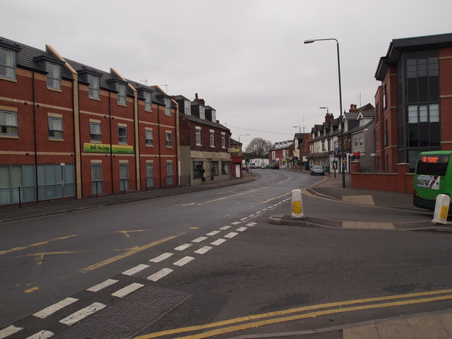
Image: © David Hallam-Jones Taken: 16 Mar 2012
A stretch of the B684 (Woodborough Rd) running in the direction of Nottingham city centre. The rear of a bus is visible on Mapperley Rise, commencing its descent down the hill that leads to the suburb of Sherwood. Opposite the entrance/exit into Mapperley Rise the "Belle Vue" residential home for the care of individuals with dementia (opened in 2011) - on the site of the old "Belle Vue" pub - can be seen.
Images are licensed for reuse under creativecommons.org/licenses/by-sa/2.0
Image Location
Latitude
52.980449
Longitude
-1.131203