Woodman's Corner
Introduction
The photograph on this page of Woodman's Corner by Derek Harper as part of the Geograph project.
The Geograph project started in 2005 with the aim of publishing, organising and preserving representative images for every square kilometre of Great Britain, Ireland and the Isle of Man.

There are currently over 7.5m images from over 14,400 individuals and you can help contribute to the project by visiting https://www.geograph.org.uk
Woodman's Corner
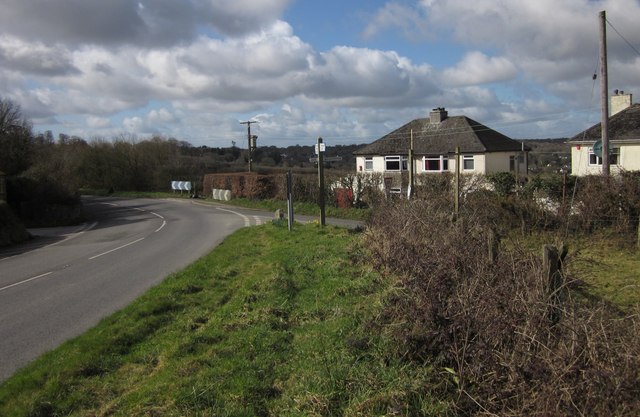
Image: © Derek Harper Taken: 5 Mar 2012
A lane from Walkhampton joins the B3212 Dousland Road at this corner. The seven properties at Heathfield Park (right) form a small piece of ribbon development.
Images are licensed for reuse under creativecommons.org/licenses/by-sa/2.0
Image Location
Latitude
50.496832
Longitude
-4.078201