Burrator Road, Dousland
Introduction
The photograph on this page of Burrator Road, Dousland by Derek Harper as part of the Geograph project.
The Geograph project started in 2005 with the aim of publishing, organising and preserving representative images for every square kilometre of Great Britain, Ireland and the Isle of Man.

There are currently over 7.5m images from over 14,400 individuals and you can help contribute to the project by visiting https://www.geograph.org.uk
Burrator Road, Dousland
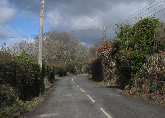
Image: © Derek Harper Taken: 5 Mar 2012
The road is running between houses, but almost nothing can be seen of them; the main pieces of evidence are the walled drive entrances every 25 metres or so on each side.
Images are licensed for reuse under creativecommons.org/licenses/by-sa/2.0
Image Location
Latitude
50.495068
Longitude
-4.061062