Near High Catton
Introduction
The photograph on this page of Near High Catton by DS Pugh as part of the Geograph project.
The Geograph project started in 2005 with the aim of publishing, organising and preserving representative images for every square kilometre of Great Britain, Ireland and the Isle of Man.

There are currently over 7.5m images from over 14,400 individuals and you can help contribute to the project by visiting https://www.geograph.org.uk
Near High Catton
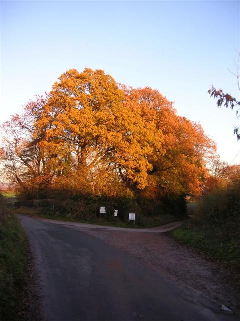
Image: © DS Pugh Taken: 26 Nov 2006
The track on the right goes to some kennels.
Images are licensed for reuse under creativecommons.org/licenses/by-sa/2.0
Image Location


Leaflet Map data © OpenStreetMap
Latitude
53.974362
Longitude
-0.903769