South west end of Hardy lane, looking in the direction of Barlow Moor Road
Introduction
The photograph on this page of South west end of Hardy lane, looking in the direction of Barlow Moor Road by Phil Champion as part of the Geograph project.
The Geograph project started in 2005 with the aim of publishing, organising and preserving representative images for every square kilometre of Great Britain, Ireland and the Isle of Man.

There are currently over 7.5m images from over 14,400 individuals and you can help contribute to the project by visiting https://www.geograph.org.uk
South west end of Hardy lane, looking in the direction of Barlow Moor Road
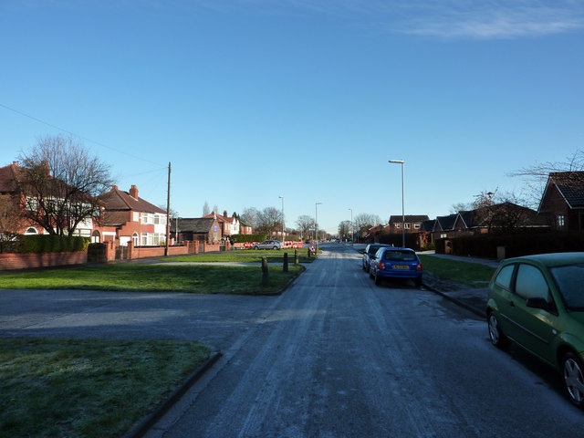
Image: © Phil Champion Taken: 18 Dec 2011
When Hardy Lane was widened from a narrow country lane in the 1920s, the planners had in mind an extension across the Mersey to form a significant arterial road. This explains the exceptional width of what is essentially a cul-de-sac. (The Hardy Lane Extension was still being seriously considered into the late 1960s / early 1970s when the M63 was being designed and built, with junctions set out with this link in mind). This view is set to change substantially in coming years as the Metrolink line to the airport is due to be constructed along this road, continuing towards a river crossing near Jackson's Boat.
Images are licensed for reuse under creativecommons.org/licenses/by-sa/2.0
Image Location
Latitude
53.430402
Longitude
-2.277944