Cundiff Road, Chorlton
Introduction
The photograph on this page of Cundiff Road, Chorlton by Phil Champion as part of the Geograph project.
The Geograph project started in 2005 with the aim of publishing, organising and preserving representative images for every square kilometre of Great Britain, Ireland and the Isle of Man.

There are currently over 7.5m images from over 14,400 individuals and you can help contribute to the project by visiting https://www.geograph.org.uk
Cundiff Road, Chorlton
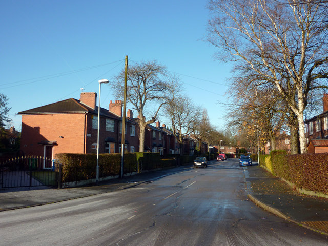
Image: © Phil Champion Taken: 18 Dec 2011
Looking from the junction with Hardy Lane. The house here were built by Manchester Corporation in the late 1920s / early 1930s.
Images are licensed for reuse under creativecommons.org/licenses/by-sa/2.0
Image Location
Latitude
53.431126
Longitude
-2.276142