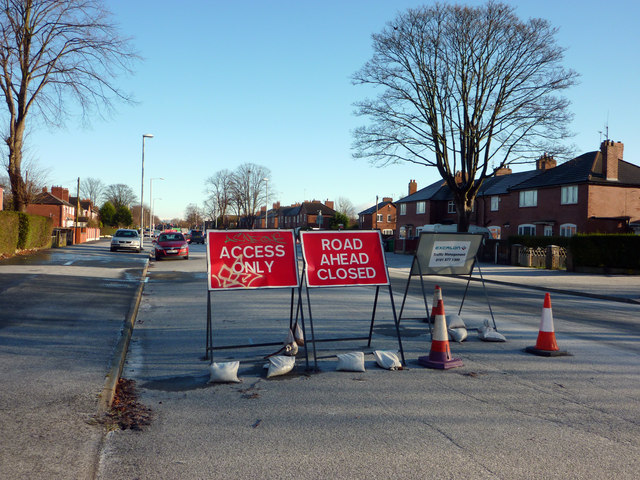
Road closure signs on Hardy Lane, Chorlton
Introduction
The photograph on this page of Road closure signs on Hardy Lane, Chorlton by Phil Champion as part of the Geograph project.
The Geograph project started in 2005 with the aim of publishing, organising and preserving representative images for every square kilometre of Great Britain, Ireland and the Isle of Man.
There are currently over 7.5m images from over 14,400 individuals and you can help contribute to the project by visiting https://www.geograph.org.uk

Image: © Phil Champion Taken: 18 Dec 2011
The planned extension of the Metrolink network to Manchester Airport will see trams running along the centre of Mauldeth Road West and Hardy Lane, continuing to a river crossing near Jacksons Boat. The line is scheduled to open in 2016. When this photo was taken works were ongoing to divert utilities at the junction of Hardy Lane and Barlow Moor Road. This entailed Hardy Lane being closed off at that point. Traffic was being diverted along Cundiff Road, where a point closure near Barlow Moor Road had been temporarily removed.

