Boreham, Six Bells
Introduction
The photograph on this page of Boreham, Six Bells by Mike Faherty as part of the Geograph project.
The Geograph project started in 2005 with the aim of publishing, organising and preserving representative images for every square kilometre of Great Britain, Ireland and the Isle of Man.

There are currently over 7.5m images from over 14,400 individuals and you can help contribute to the project by visiting https://www.geograph.org.uk
Boreham, Six Bells
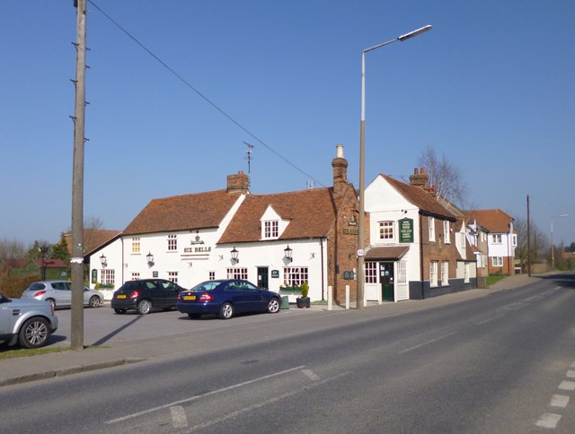
Image: © Mike Faherty Taken: 15 Mar 2012
Greene King pub on Main Road. Internally, bar to right, with various eating and drinking areas left and front; open fireplaces, wooden beams, large garden. Cask ales on offer at my visit: Abbot, IPA, St Edmunds. For some customer comments, see http://www.beerintheevening.com/pubs/s/13/13463/Six_Bells/Boreham Listed by English Heritage: http://www.imagesofengland.org.uk/Details/Default.aspx?id=112440&mode=adv
Images are licensed for reuse under creativecommons.org/licenses/by-sa/2.0
Image Location
Latitude
51.764465
Longitude
0.547761