Approaching Road Junction near Moortop Farm
Introduction
The photograph on this page of Approaching Road Junction near Moortop Farm by Jonathan Clitheroe as part of the Geograph project.
The Geograph project started in 2005 with the aim of publishing, organising and preserving representative images for every square kilometre of Great Britain, Ireland and the Isle of Man.

There are currently over 7.5m images from over 14,400 individuals and you can help contribute to the project by visiting https://www.geograph.org.uk
Approaching Road Junction near Moortop Farm
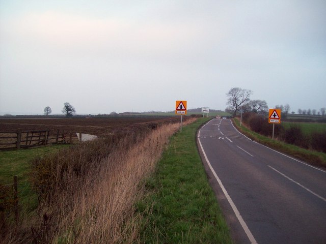
Image: © Jonathan Clitheroe Taken: 15 Mar 2012
This grid square is devoid of public footpaths and just one bridleway encroaches from the north. The farm is situated in SK3878 behind the photographer position.
Images are licensed for reuse under creativecommons.org/licenses/by-sa/2.0
Image Location
Latitude
53.301113
Longitude
-1.414463