The ascent to the summit of Castle Hill
Introduction
The photograph on this page of The ascent to the summit of Castle Hill by Eric Jones as part of the Geograph project.
The Geograph project started in 2005 with the aim of publishing, organising and preserving representative images for every square kilometre of Great Britain, Ireland and the Isle of Man.

There are currently over 7.5m images from over 14,400 individuals and you can help contribute to the project by visiting https://www.geograph.org.uk
The ascent to the summit of Castle Hill
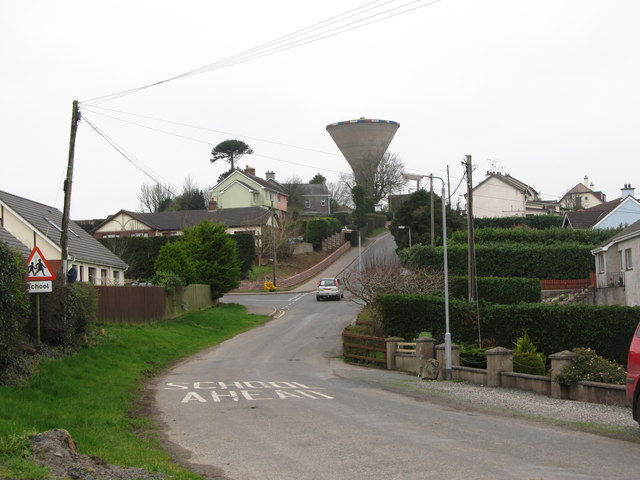
Image: © Eric Jones Taken: 13 Mar 2012
Castle Hill, once the site of a castle, is dominated by the Rathfriland Water Tower. The tower is visible for miles around.
Images are licensed for reuse under creativecommons.org/licenses/by-sa/2.0
Image Location
Latitude
54.238829
Longitude
-6.158221