End of cycle route, Forgeside Road, Forgeside
Introduction
The photograph on this page of End of cycle route, Forgeside Road, Forgeside by Jaggery as part of the Geograph project.
The Geograph project started in 2005 with the aim of publishing, organising and preserving representative images for every square kilometre of Great Britain, Ireland and the Isle of Man.

There are currently over 7.5m images from over 14,400 individuals and you can help contribute to the project by visiting https://www.geograph.org.uk
End of cycle route, Forgeside Road, Forgeside
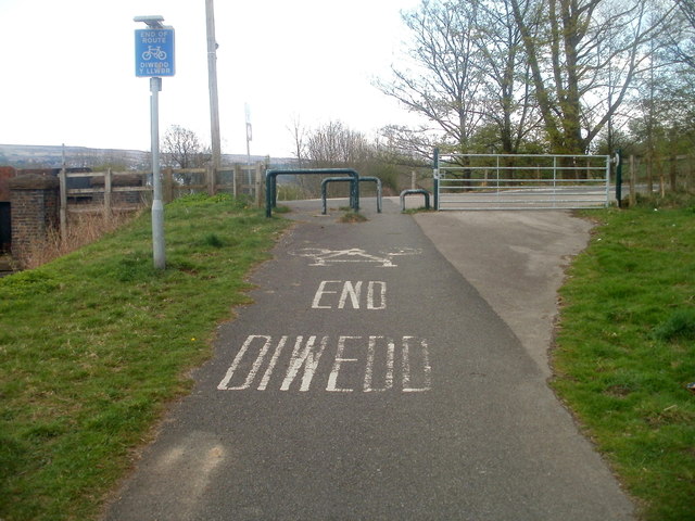
Image: © Jaggery Taken: 15 Apr 2011
The connecting cycleway from National Cycle Network route 46 to Forgeside Road ends at the edge of the road. Sturdy metal barriers and a locked metal gate prevent inappropriate vehicles entering the cycleway from Forgeside Road.
Images are licensed for reuse under creativecommons.org/licenses/by-sa/2.0
Image Location
Latitude
51.770076
Longitude
-3.094112