New Barn near Turvey
Introduction
The photograph on this page of New Barn near Turvey by Nigel Stickells as part of the Geograph project.
The Geograph project started in 2005 with the aim of publishing, organising and preserving representative images for every square kilometre of Great Britain, Ireland and the Isle of Man.

There are currently over 7.5m images from over 14,400 individuals and you can help contribute to the project by visiting https://www.geograph.org.uk
New Barn near Turvey
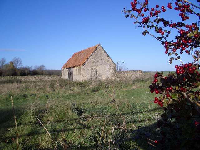
Image: © Nigel Stickells Taken: 21 Nov 2006
This barn is to be found on the Turvey to Carlton road, three quarters of a mile north of Turvey. It was once a traditional U-shaped barn and enclosure that has been partly demolished in recent times leaving only one barn wing and some walls.
Images are licensed for reuse under creativecommons.org/licenses/by-sa/2.0
Image Location
Latitude
52.174851
Longitude
-0.621691