St Anne's, Miller's Dale
Introduction
The photograph on this page of St Anne's, Miller's Dale by Bill Boaden as part of the Geograph project.
The Geograph project started in 2005 with the aim of publishing, organising and preserving representative images for every square kilometre of Great Britain, Ireland and the Isle of Man.

There are currently over 7.5m images from over 14,400 individuals and you can help contribute to the project by visiting https://www.geograph.org.uk
St Anne's, Miller's Dale
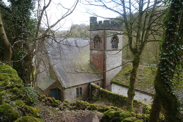
Image: © Bill Boaden Taken: 10 Mar 2012
It is part of the parish of Tideswell. It is viewed from the path which climbs over into Monk's Dale.
Images are licensed for reuse under creativecommons.org/licenses/by-sa/2.0
Image Location
Latitude
53.256791
Longitude
-1.789658