A1079 at Dunnington junction
Introduction
The photograph on this page of A1079 at Dunnington junction by DS Pugh as part of the Geograph project.
The Geograph project started in 2005 with the aim of publishing, organising and preserving representative images for every square kilometre of Great Britain, Ireland and the Isle of Man.

There are currently over 7.5m images from over 14,400 individuals and you can help contribute to the project by visiting https://www.geograph.org.uk
A1079 at Dunnington junction
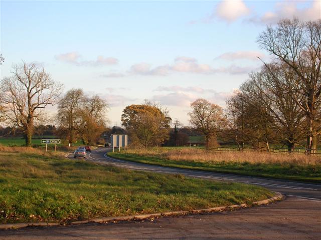
Image: © DS Pugh Taken: 26 Nov 2006
The turn off the A1079 to Dunnington (left), with York behind and the East Riding ahead.
Images are licensed for reuse under creativecommons.org/licenses/by-sa/2.0
Image Location
Latitude
53.957227
Longitude
-1.000233