Tree at Blackness
Introduction
The photograph on this page of Tree at Blackness by Philip Halling as part of the Geograph project.
The Geograph project started in 2005 with the aim of publishing, organising and preserving representative images for every square kilometre of Great Britain, Ireland and the Isle of Man.

There are currently over 7.5m images from over 14,400 individuals and you can help contribute to the project by visiting https://www.geograph.org.uk
Tree at Blackness
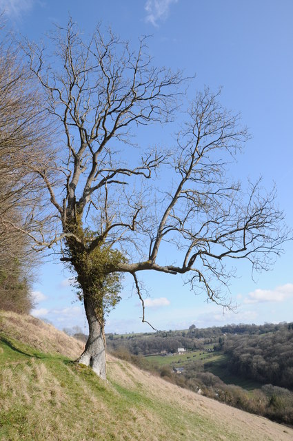
Image: © Philip Halling Taken: 10 Mar 2012
Tree on the steep hillside above the Stroud valley, this open access land is martked on the OS map as Blackness.
Images are licensed for reuse under creativecommons.org/licenses/by-sa/2.0
Image Location
Latitude
51.72046
Longitude
-2.17743