Housing at Weller Avenue, Chorlton
Introduction
The photograph on this page of Housing at Weller Avenue, Chorlton by Phil Champion as part of the Geograph project.
The Geograph project started in 2005 with the aim of publishing, organising and preserving representative images for every square kilometre of Great Britain, Ireland and the Isle of Man.

There are currently over 7.5m images from over 14,400 individuals and you can help contribute to the project by visiting https://www.geograph.org.uk
Housing at Weller Avenue, Chorlton
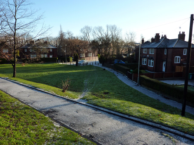
Image: © Phil Champion Taken: 18 Dec 2011
A large green area alongside Mauldeth Road West. During the late 1920s the Council constructed garden village style housing estates along the south side of Barlow Moor Road, and at Hough End, as seen here.
Images are licensed for reuse under creativecommons.org/licenses/by-sa/2.0
Image Location
Latitude
53.436461
Longitude
-2.261726