Lane to houses, Cwmfelinfach
Introduction
The photograph on this page of Lane to houses, Cwmfelinfach by Jaggery as part of the Geograph project.
The Geograph project started in 2005 with the aim of publishing, organising and preserving representative images for every square kilometre of Great Britain, Ireland and the Isle of Man.

There are currently over 7.5m images from over 14,400 individuals and you can help contribute to the project by visiting https://www.geograph.org.uk
Lane to houses, Cwmfelinfach
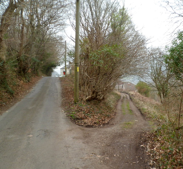
Image: © Jaggery Taken: 14 Mar 2012
Commercial Road is on the left. The lane on the right follows a course ahead between Commercial Road houses and Maindee Road houses. The lane's far end is near the edge of Coronation Buildings. http://www.geograph.org.uk/photo/2835329
Images are licensed for reuse under creativecommons.org/licenses/by-sa/2.0
Image Location
Latitude
51.620869
Longitude
-3.181523