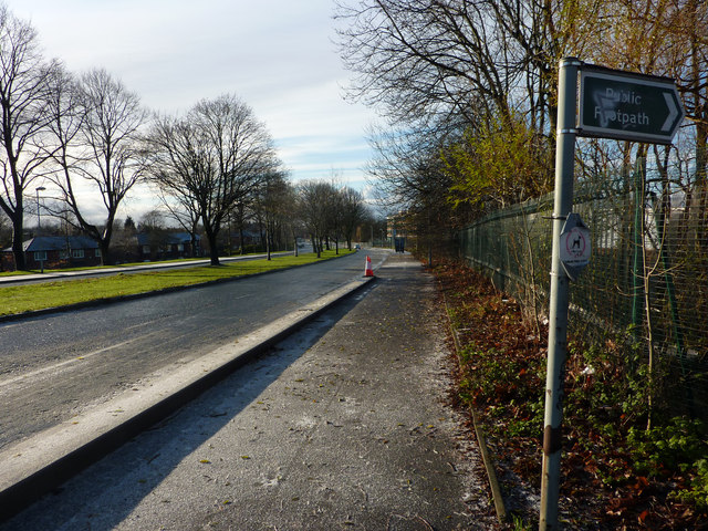
Mauldeth Road West, Hough End
Introduction
The photograph on this page of Mauldeth Road West, Hough End by Phil Champion as part of the Geograph project.
The Geograph project started in 2005 with the aim of publishing, organising and preserving representative images for every square kilometre of Great Britain, Ireland and the Isle of Man.
There are currently over 7.5m images from over 14,400 individuals and you can help contribute to the project by visiting https://www.geograph.org.uk

Image: © Phil Champion Taken: 18 Dec 2011
From the top of Twenty-Seven Steps, near the railway bridge. This wide dual carriageway was constructed in the late 1920s (replacing a narrower lane that passed Hough End Hall), and connected to a widened Hardy Lane, which terminated at Hardy Farm, some way north of the foot crossing over the Mersey at Jackson's Boat. An extension of Hardy Lane was planned, but never constructed. As a result, even today, the road carries much less traffic than it was built to take. The central reservation was reserved for tram tracks which, as far as I know, were never laid. However just after the last tree seen in this view, the planned Metrolink line towards Manchester Airport will join from the right, and run along the centre of the road to its junction with Barlow Moor Road / Hardy Lane

