Manchester Woodford Aerodrome
Introduction
The photograph on this page of Manchester Woodford Aerodrome by Peter Barr as part of the Geograph project.
The Geograph project started in 2005 with the aim of publishing, organising and preserving representative images for every square kilometre of Great Britain, Ireland and the Isle of Man.

There are currently over 7.5m images from over 14,400 individuals and you can help contribute to the project by visiting https://www.geograph.org.uk
Manchester Woodford Aerodrome
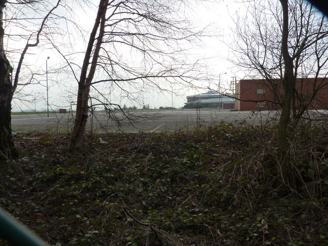
Image: © Peter Barr Taken: 13 Mar 2012
Former airfield owned and operated by BAE Systems.
Images are licensed for reuse under creativecommons.org/licenses/by-sa/2.0
Image Location
Latitude
53.340919
Longitude
-2.155707