Fivewells Farm buildings
Introduction
The photograph on this page of Fivewells Farm buildings by Andrew Hill as part of the Geograph project.
The Geograph project started in 2005 with the aim of publishing, organising and preserving representative images for every square kilometre of Great Britain, Ireland and the Isle of Man.

There are currently over 7.5m images from over 14,400 individuals and you can help contribute to the project by visiting https://www.geograph.org.uk
Fivewells Farm buildings
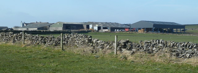
Image: © Andrew Hill Taken: 13 Mar 2012
An extensive range of farm buildings on a working hills far, near the highest summit for some distance around.
Images are licensed for reuse under creativecommons.org/licenses/by-sa/2.0
Image Location
Latitude
53.233192
Longitude
-1.814642